|
Place de la Grande-Paix
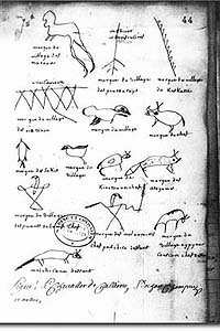
Place Royale and the Amerindian Pointe-à-Callière and place Royale
|
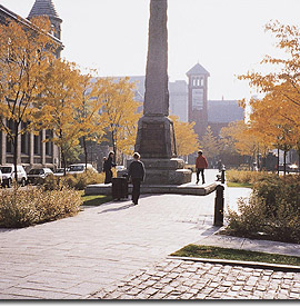
This part of what was formerly Place d'Youville, redeveloped in 1999, was renamed Place de la Grande-Paix in 2001, to mark the tricentennial of the treaty. In 1701, the Great Peace of Montréal put an end to wars between the Natives and French and between the allies and enemies of the French among the Native nations.
Behind the contemporary Museum, de Callière Street leads into the Place, passing close by the buried traces of the residence of Louis-Hector de Callière, the Governor of New France who negotiated and signed the treaty.
|
| Home | Site map | Contact us |
Credits. All rights reserved, 1998-2001.
|