
|
Up until the 1820s, ships dropped anchor some way out from the shore or tied up to make shift piers, often near the peacefully flowing Little Saint-Pierre River. Then, from west to east, an esplanade, docks and piers were built, all of them on land reclaimed from the St. Lawrence.
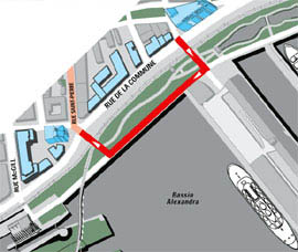
The Port of Montréal, officially opened in 1830, became the gateway to Canada. Thousands of immigrants landed here seeking better lives. Stone warehouses were built near the first permanent piers. This was also the site of Joe Beef's Tavern, whose owner, Irishman Charles McKiernan, was known for keeping a live bear, among other eccentricities, and for his support for striking workers. For decades, the Alexandra pier, built around the turn of the century, was the first landfall for thousands of immigrants. Today it welcomes cruise ship passengers.
|
| Home | Site map | Contact us |
Credits. All rights reserved, 1998-2001.
|